Geostationary Satellite Animations
Please help ensure the future of the Dundee Satellite Receiving Station
As of March 31st 2019 the funding of the station has been removed. There is currently a crowdfunding effort to secure funding to continue operation.
Key Features
The application has the following important features:- Selectable animation time period allowing animation of a single day to months.
- Animations can be manually controlled to allow going backwards and forwards as desired to study features.
- Multi-channel animations allow manual switching between spectral bands during animation.
- Geographical coordinate readout for the tracking of features such as storms.
How to Create a Timelapse
The parameters for specifiying a timelapse are:- Longitude/Satellite
- Time period (last 24 hours, a single day, a month or a custom range of dates)
- The channel (spectral band)
- The image size
- Coastal grid
After selecting the desired parameters clicking the ‘Create Timelapse’ button will retrieve the images and load them ready for animation.

Viewing the Timelapse
After the images have been loaded a control panel will appear at the bottom of the screen. The image set may be navigated via the slider or animated automatically with the ‘play’ button. The speed of automatic animations may be controlled via the options menu. There is also an option for repeated looping of the animation.
Coordinate Readout
When hovering the mouse over the images a geographical coordinate readout is displayed. This allows features of interest to be tracked as they traverse the Earth.
Downloading the Images
A downloader tool is provided in the options menu to allow the images to be downloaded with ease. They may be downloaded separately, in a range or in entirety.

Multi-channel Animations
The images for several channels may be loaded at once to allow the switching of spectral bands during animation. To do so select ‘enable’ in the ‘Additional Channels’ section of the options menu and then use the multi-select widget to choose the desired channels.
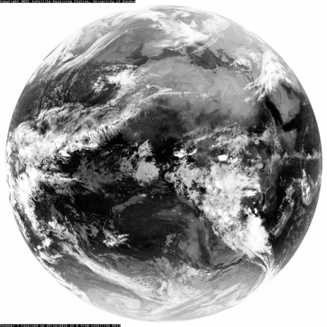
Here is an example multi-channel animation of 25/12/2016 at 0 degrees longitude, channels 1, 7 and 11.
Keyboard Shortcuts
The application has a number of keyboard shortcuts to make using it easier:
- play/pause animation - p
- open/close options menu - o
- open/close downloader - d
- forward cycle channel - c
- backward cycle channel - ctrl + c
Supported Sensors
Below are lists of the currently operational and previous sensors available. Please note a Dundee Satellite Receiving Station account is required to use the pages.Currently Operational
These links present animations of the last 24 hours:- GOES West (135.0W)
- GOES East (075.0W)
- Meteosat SEVIRI (000.0E)
- Meteosat SEVIRI (041.5E)
- Himawari 8 (140.7E)
Archive
These links are to the archive pages of sensors which are no longer active:
- Meteosat VISSR (000.0E)
- Meteosat VISSR (057.0E)
- Meteosat VISSR (063.0E)
- MTSAT (140.0E)
- MTSAT (145.0E)